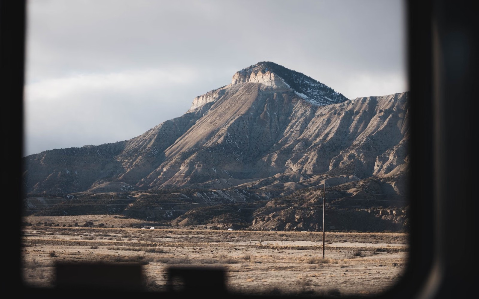
The Piceance Basin has been quietly producing tight gas out of western Colorado's mountain country for decades, far from the crowds that follow the newer shale plays.
Garfield, Rio Blanco, and Mesa County families in western Colorado know the Piceance Basin as steady, unglamorous gas country, tight sandstone production, mostly from the Williams Fork and Mesaverde formations, that's been developed in waves since the 1990s. It doesn't carry the name recognition of the Permian or the Bakken, but it's produced dependable gas royalty for a lot of ranching and rural families for a very long time.
This basin also sits in some genuinely remote and mountainous terrain, which shapes both the economics of development and the practical experience of owning minerals here. We work with Piceance owners who manage cattle operations on the same land their family's minerals sit under, and with heirs who've never set foot in Colorado but inherited a fractional interest from a relative who once did.
The Piceance's Williams Fork and Mesaverde formations are tight sandstones rather than shale, requiring hydraulic fracturing to produce economically but behaving somewhat differently on the decline curve than a shale horizontal. Development here has come in distinct waves tied closely to natural gas prices, with the basin's most active drilling period running through the mid-2000s before slowing as gas prices softened.
That price sensitivity is worth understanding clearly: the Piceance is almost entirely a gas play, so your royalty check moves with natural gas markets more directly than it would in a basin with meaningful oil production to offset gas price swings.
Unlike flat West Texas ranchland, a lot of Piceance Basin acreage sits in rugged, high-elevation terrain that adds real cost and logistical complexity to drilling and infrastructure. That terrain is part of why development here has moved in slower, more selective waves than in easier-to-access basins, even when the underlying gas resource is substantial.
For an owner, this generally means a longer, steadier relationship with a smaller number of operators rather than the rapid operator turnover you might see in a more competitive, easily accessible basin.
A meaningful share of Piceance Basin land involves BLM or Colorado state trust holdings alongside private mineral estates, sometimes on adjacent or even the same sections. If your family's interest is a private fee mineral estate, that's a more straightforward transaction than one tied to federal or state leasing, and we confirm which situation applies to you early in the process.
We don't assume; we check your specific deed and lease history before discussing what a sale would actually involve.
Piceance wells generally don't show the sharp first-year drop-off you'd see in a shale horizontal; they tend to decline more gradually over a longer stretch. That means the remaining value in a mature Piceance well often comes down almost entirely to where gas prices sit and how much production life the well genuinely has left, rather than any dramatic swings in the underlying decline curve itself.
We look at multiple years of your production history side by side with gas price trends before forming an opinion, since a single recent month rarely tells the full story in this basin.
A lot of the families who hold Piceance Basin minerals are the same families running cattle operations across this rugged part of western Colorado, sometimes on the same acreage where wells were drilled decades ago. We understand ranch life comes with its own rhythms and priorities, and we don't expect anyone to drop everything for a mineral conversation during calving season or haying.
We're happy to move at whatever pace works for your family, whether that means a quick phone conversation now or picking things back up after a busy stretch on the ranch.
The Williams Fork and Mesaverde formations are the primary tight-sand gas producers in the Piceance, developed mostly through hydraulic fracturing since the 1990s and 2000s.
The Piceance is almost entirely a natural gas play with little oil production to offset price swings, so royalty checks track gas prices closely.
Activity has slowed considerably since the mid-2000s peak, with development now more selective and tied closely to prevailing natural gas prices.
Yes. Title work is done through county and, where relevant, BLM records, and closing can be completed entirely by mail without requiring you to visit the property or travel to Colorado at all, wherever you currently live.
Not for the transaction itself. Title and closing work happens entirely through records and mail, regardless of how remote or rugged the surface acreage above your minerals actually is.
The same tract, deed chain, lease, division order, payor account, wells, and deductions carry into each of these reviews.
Own Uinta Basin mineral rights in Duchesne or Uintah County, Utah? We buy waxy-crude oil and gas royalty interests from Utah ranch and farm families.
Own Green River Basin gas royalty in Wyoming? We buy Pinedale, Jonah, and Wamsutter-area mineral interests, federal split-estate complications included.
Own Fayetteville Shale gas royalty in the Arkoma Basin? We buy mature Arkansas mineral interests from families in Conway, Van Buren, and White County.
Share the county and state, owner name, operator or payor, recent statement, deed or lease if available, and the question behind the inquiry.